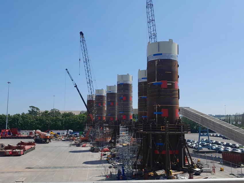
In May 2023, GEO-Instruments UK teams installed a monitoring system for six steel shaft liners at Portbury Docks near Bristol, as part of its work on Hinkley Point C’s cooling water system.

The Hinkley Point C project has built five miles of tunnels under the Bristol Channel, which will be used to circulate cooling water to the power station’s two nuclear reactors.
Sea water will be transported in via the intake tunnels and will be returned via the outfall tunnels.
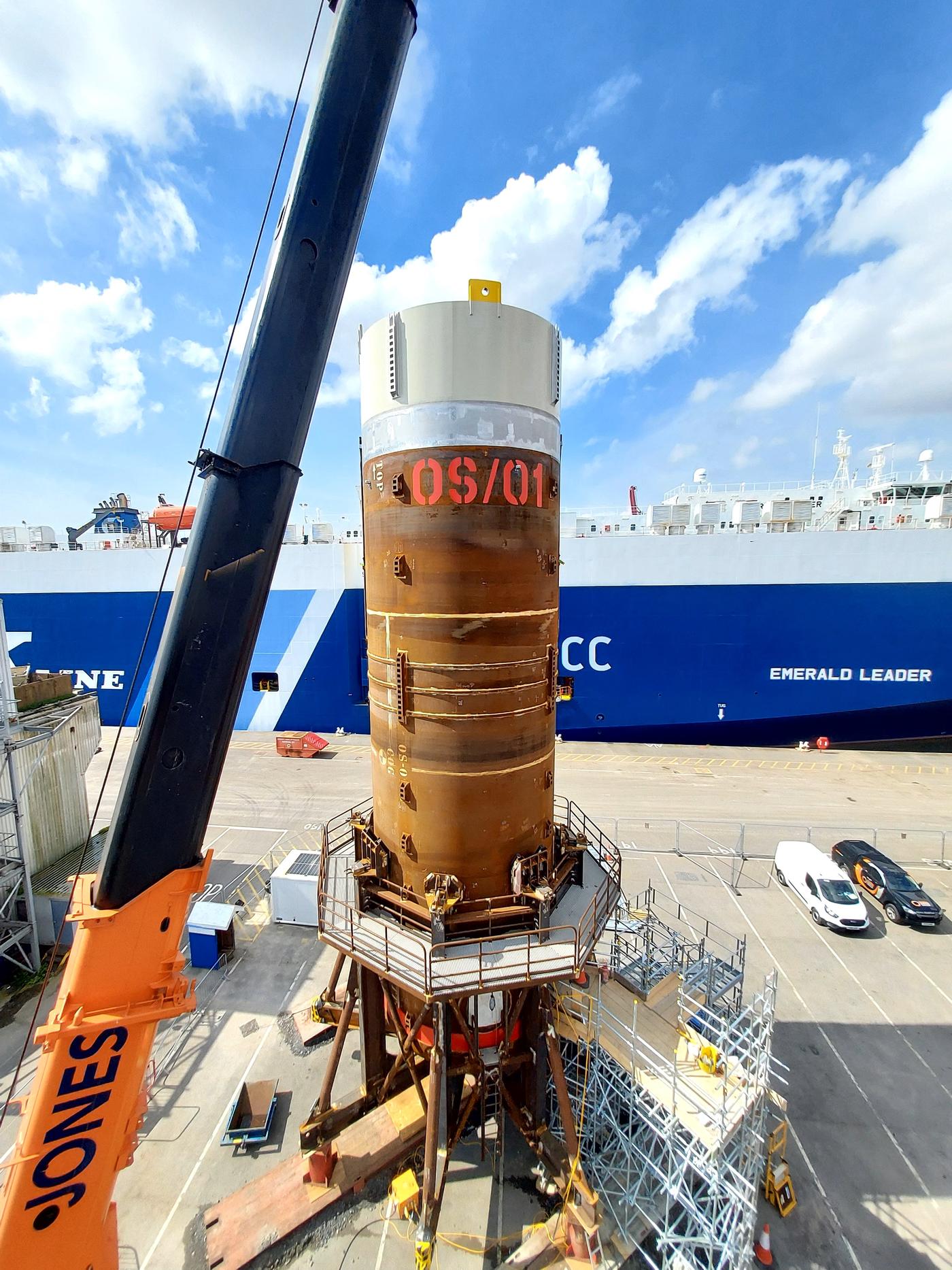
The six steel liners are a key component in the process of connecting the tunnels to the intake and outfall heads that were lifted into position on the seafloor of the Bristol channel in autumn 2022.
In preparation for their installation offshore, the liners required concrete fitout works and installation of isolation caps. These works are being carried out by the Tier 1 Contractor Balfour Beatty.
During the fitout works, each of the liners were supported in purpose-built frames and required monitoring for any potential movement of the liners during the process.
GEO-Instruments and Balfour Beatty worked together to design a monitoring scheme comprised of 24 Tiltmeters and 24 combined Tilt & Distance Sensor Nodes.
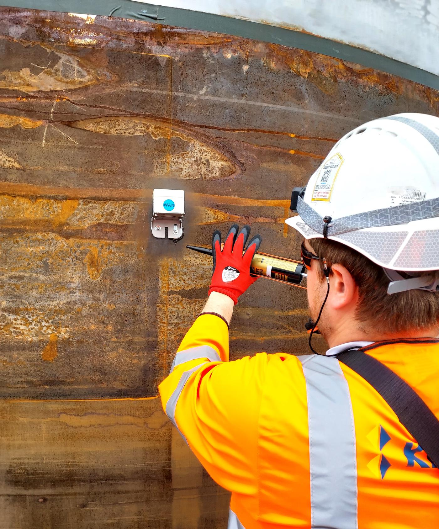
Four biaxial tiltmeters were installed using magnets near the top of each liner. Each of the frames supporting the liners were fitted with four Tilt & Distance Sensor nodes at the corners, aimed vertically downwards at target reflectors. The use of a MEWP was necessary to access the top of the Liners.
The Tiltmeters installed at height on the liners give a precise indication of any change in inclination of the liner itself. The Distance sensor nodes directly monitor the frame for tilt by optically measuring small changes in distance from the ground in each corner of the frame. The Distance sensor nodes also monitor tilt across 2 axes. This secondary tilt data can also help to verify the measured distance by confirming the sensor is still oriented as installed.


The sensors are measuring data every thirty minutes, 24 hours a day. The data is collected wirelessly by a gateway installed on site. From here, data is sent to GEO-Instruments’ database so it can be visualised on the QuickView web platform.
The gateway is installed with solar panels to ensure the longevity of the battery and remove the need for a site power supply. The sensors use relatively small amounts of power so internal batteries are sufficient for the duration of the project.
The software allows for the management and visualisation of data using bespoke layouts and graphs, as well as the definition of automated alerts and reporting.
GEO-Instruments have worked previously with Balfour Beatty on the Hinkley Point C project on a monitoring scheme for a dock edge in 2022, during the transport of the Intake and Outfall heads, prior to their installation.
Find out more about our past work supporting the Hinkley Point C project.