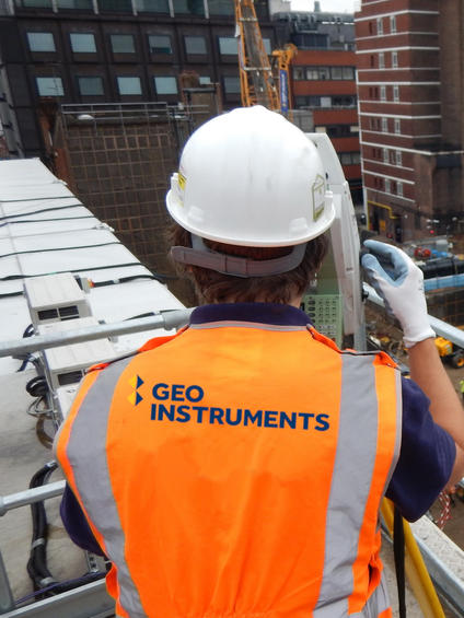
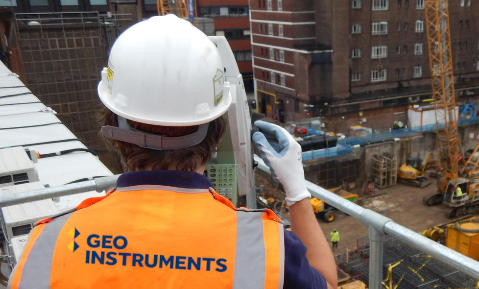
GEO-Instruments has been involved in multiple deformation monitoring and dimensional control projects using both traditional manual surveying methods (including precise levelling) to measure settlement (1D), Total Station surveys to establish 3D movement of structures, as well as fully automatic total station systems run in conjunction with Leica GeoMos and GEO-Instruments in-house developed adjustment software packages.

Common uses
Process
Manual survey monitoring has been utilised for many years, all over the globe with great success. The methodology behind manual surveys has not changed greatly, however, there have been many significant advancements in survey equipment and software. Manual monitoring is an ideal solution when a project requires high accuracy data at a lower frequency, shorter duration monitoring schemes, or on sites with limited access for installing automated instrumentation.
Using highly precise instruments including the Leica DNA03 precise digital levels with a standard deviation height measurement per 1km double-run of 0.3 mm and Leica TS60 Total Station instruments with angular accuracy 0.5” and pinpoint EDM accuracy 0.6 mm + 1 ppm to a prism, we are able to meet any project requirement within the current monitoring market.
Each survey project is planned prior to works commencing. We use the latest, most sophisticated equipment and our team designs, installs and maintains multiple reference points outside the work’s zone of influence. This reference framework is checked and referred to throughout the duration of each project, enabling the highest possible accuracy.
GEO-Instruments manual and automatic surveys have now been implemented on many projects globally, in particular Central London where we’ve been monitoring slopes, walls and private properties affected by adjacent construction works. We have also been monitoring ground movement across London Underground tunnels where monitoring consists of precise levelling of PLPs along running rails, rail monitoring with a track-shoe prism, manual traverse through tunnel prisms as well as tape-extensometer surveys at each specified section.
GEO-Instruments has carried out a dimensional control check on one of Crossrail’s sites where our team was required to traverse through a TBM Tunnel and new yet non-existing Ticket Hall reference stations to check if there are any discrepancies.
For short term or infrequent monitoring data, GEO-Instruments is able to design and fully implement an automatic monitoring system. Our projects include monitoring of such sensitive structures as slopes underneath operational buildings or retaining walls right next to live Network Rail tracks where reporting any movement is required 24/7 with alarm emails sent at any breach of a trigger value.
Our list of clients include Canary Wharf Contractors, London Underground, Shepherd Construction, Rydon Construction, Network Rail, 8Build, BFK JV, Laing O’Rourke, Bouygues, Skanska and our sister company - Keller.
GEO-Instruments monitoring specialists are happy to get involved and advise the best methodology to suit unique site conditions and any project specification. Get in touch, we’ll help you out.
Manual Surveying


